| Item Number: | 7052 |
| Year: | 1745 |
| City of edition: | London |
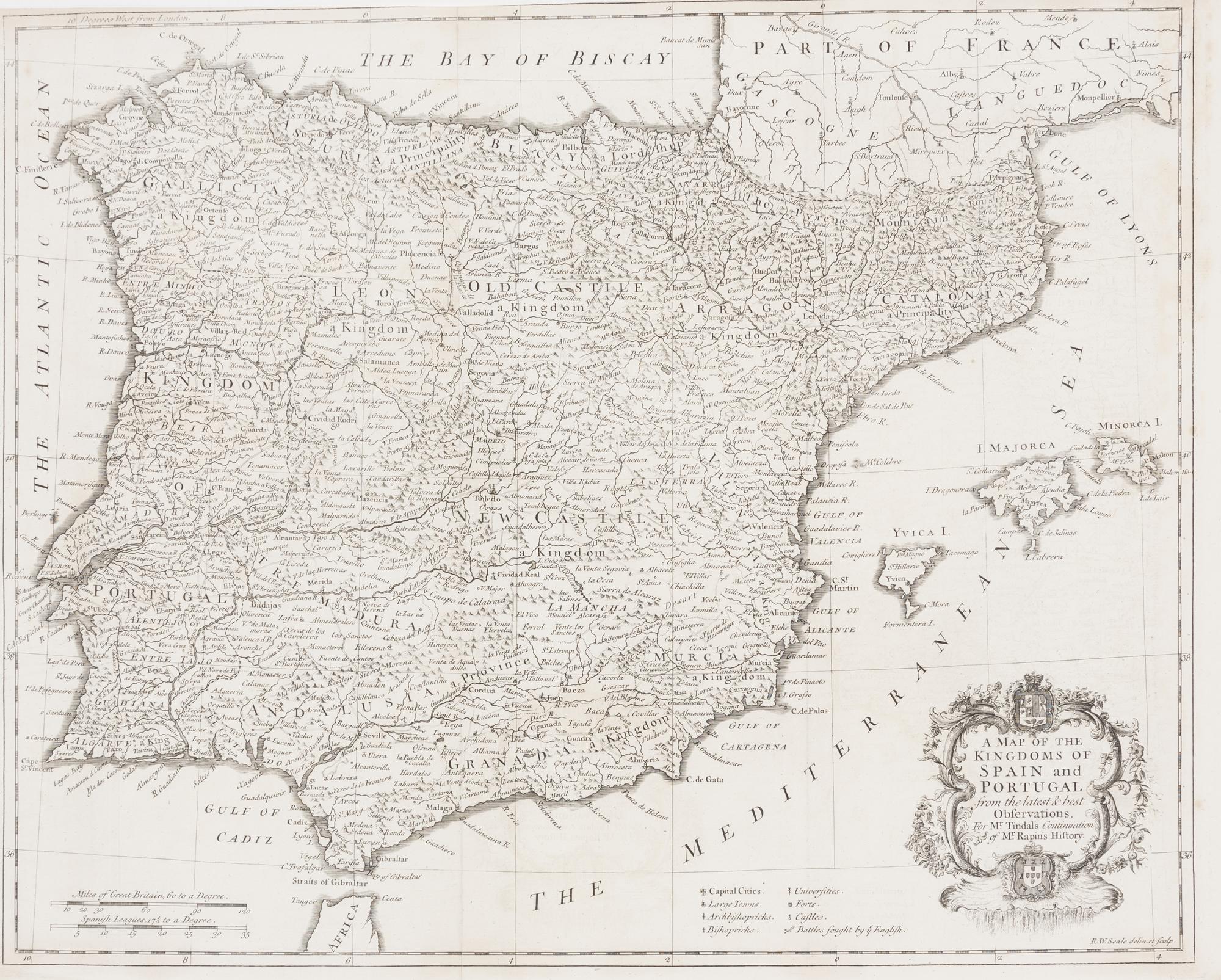
[Mapa] A Map of the kingdoms of Spain and Portugal from the latest and best observations for Mr Tindals continuation of Mr Rapin's History
Mapa detallado de España y Portugal de Nicholas Tindal, de 1752. Este mapa de la Península Ibérica muestra a España y Portugal, así como los estrechos de Gibraltar, parte de África del Norte y parte de Francia, y las islas Baleares de Mallorca, Menorca e Ibiza. Las características de alivio se muestran pictóricamente. Un cartucho ricamente adornado con dos brazos contiene el título del mapa. En la parte inferior del mapa, una leyenda destaca varios símbolos para indicar los lugares y eventos de importancia. ------------------------------ A detailed map of Spain and Portugal by Nicholas Tindal, dated 1752. This map of the Iberian Peninsula shows Spain and Portugal, as well as the Straits of Gibraltar, part of North Africa, part of France, and the Balearic Islands of Mallorca, Menorca, and Ibiza. Relief features are shown pictorially. A richly adorned cartouche with two coats of arms encloses the map's title. At the bottom of the map, a legend highlights various symbols to indicate the sites and events of importance.
Sin Encuadernar - No binding
Good (bueno)