| Item Number: | 13059 |
| Year: | c. 1652 |
| City of edition: | Paris |
| Size: | 18.8 x 25.1 cm |
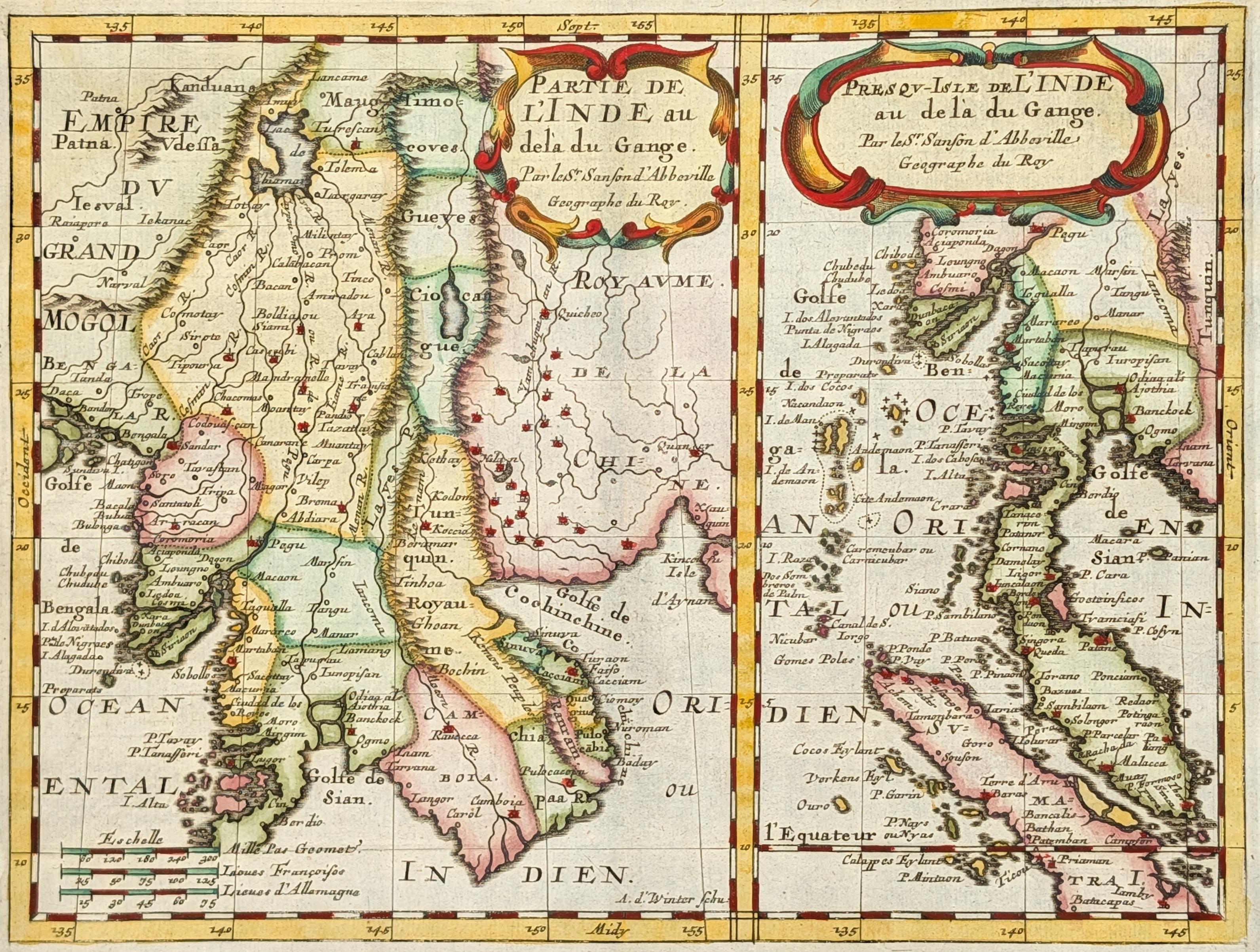
Partie de l'Inde au dela du Gange. Presqu-Isle de l'Inde au dela du Gange
Mapa antiguo original de la península de Indochina, grabado por Nicolas Sanson alrededor de 1660 en París. El conjunto consta de dos mapas que representan diferentes partes de la región situada al este del Golfo de Bengala. Los títulos aparecen en francés en la parte superior: "Inde au dela du Gange", en referencia a las tierras situadas más allá del río Ganges.
El primer mapa muestra los territorios que actualmente corresponden a Tailandia, Myanmar, Laos, Camboya y Vietnam.
El segundo mapa, titulado "Presqu-Isle de l'Inde au dela du Gange", representa la parte sur de la península hasta la isla de Sumatra. Incluye los territorios actuales de Tailandia, Myanmar, Malaysia, Singapur e Indonesia.
Ambos grabados muestran las principales ciudades, ríos y cadenas montañosas mediante símbolos convencionales utilizados en la cartografía del siglo XVII. Las dimensiones son 18,8 por 25,1 centímetros para la imagen y 20,6 por 30 centímetros para la hoja completa.
Nicolas Sanson d'Abbeville trabajó en París como geógrafo y cartógrafo al servicio de los reyes de Francia durante la primera mitad del siglo XVII. Su obra cartográfica contribuyó al desarrollo de la cartografía francesa moderna.
--------------------
Original antique map of the Indochina peninsula, engraved by Nicolas Sanson around 1660 in Paris. The set consists of two maps representing different parts of the region located east of the Bay of Bengal.
The first map shows the territories that currently correspond to Thailand, Myanmar, Laos, Cambodia, and Vietnam. The title appears in French at the top: "Partie de l'Inde au dela du Gange", referring to the lands beyond the Ganges River.
The second map, titled "Presqu-Isle de l'Inde au dela du Gange", represents the southern part of the peninsula down to Sumatra island. It includes the present-day territories of Thailand, Myanmar, Malaysia, Singapore, and Indonesia.
Both engravings show the main cities, rivers, and mountain ranges using conventional symbols employed in 17th-century cartography. The dimensions are 18.8 by 25.1 centimeters for the image and 20.6 by 30 centimeters for the complete sheet.
Nicolas Sanson d'Abbeville worked in Paris as geographer and cartographer for the kings of France during the first half of the 17th century. His cartographic work contributed to the development of modern French cartography.
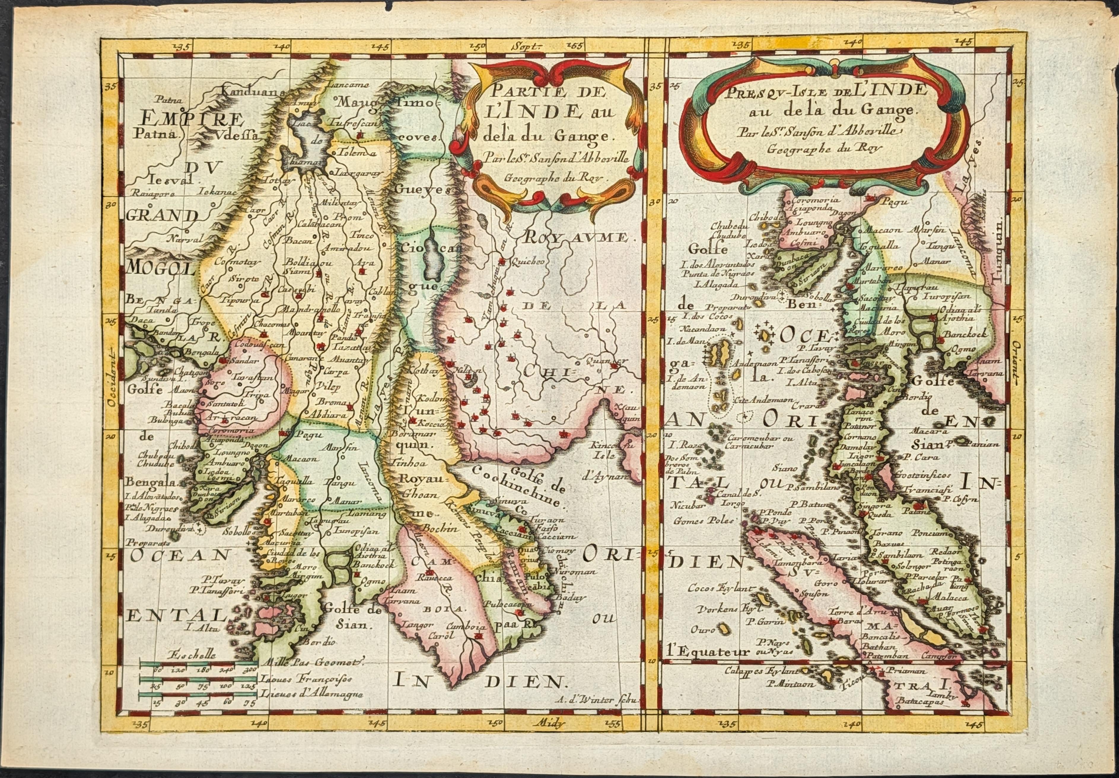
Algunos defectos menores en los margenes, lejos de la imagen, muy buen estado general.