| Referencia: | 5072 |
| Año: | 1880 |
| Lugar de edición: | Bruxelles |
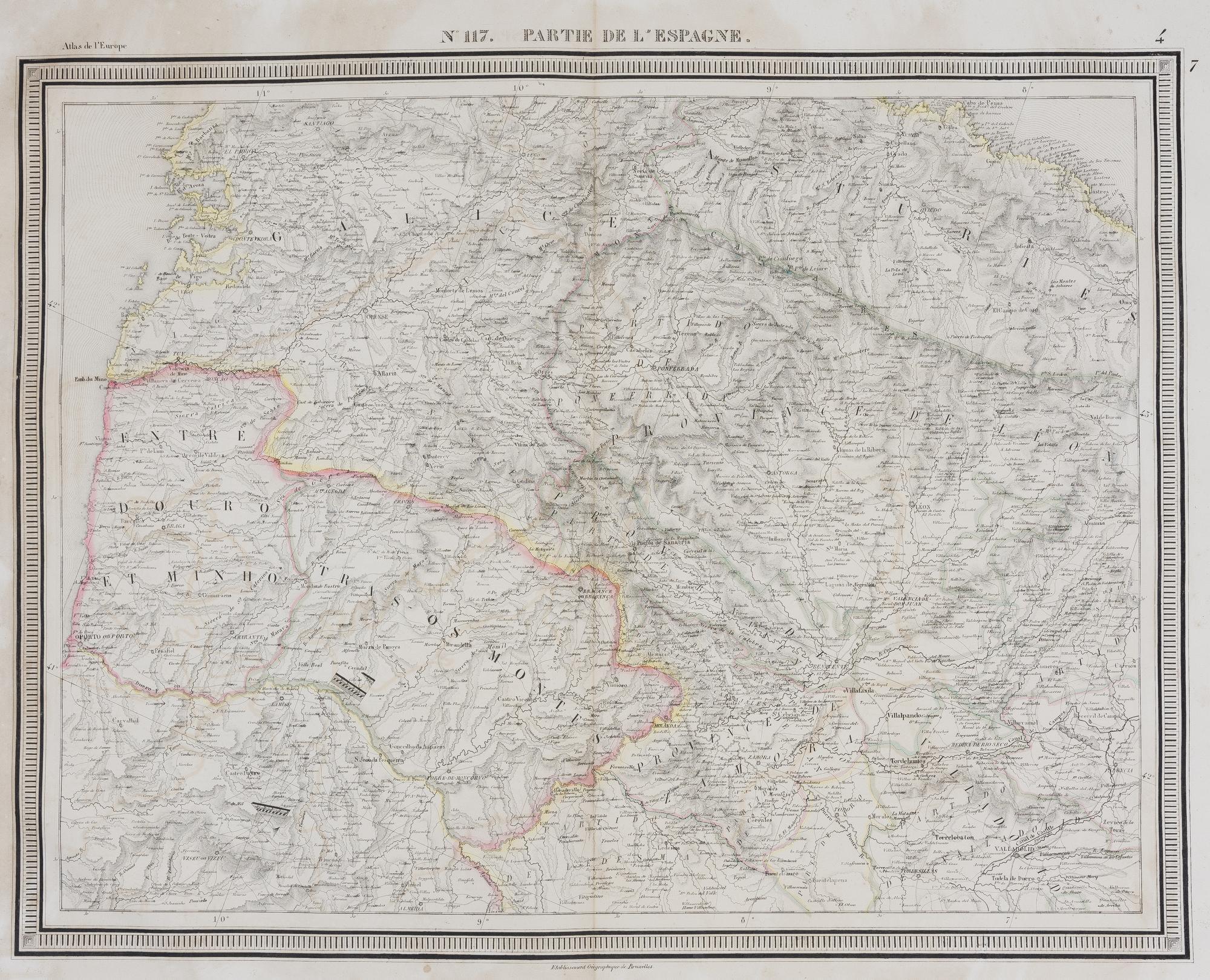
N°117. Partie de l'Espagne
Precioso mapa de Philippe Vandermaelen, de su Atlas de Europa, fechado en 1880 [fol. 133]. El mapa muestra zonas del territorio español que incluyen la provincia de Guadalajara, el partido de Medinacelli, Castilla, Aragón, el gobierno de Morella, la región de Valencia, el corregimiento de Tortosa, y las provincias de Oviedo y Soria, entre otras subdivisiones territoriales. Las divisiones territoriales están coloreadas a mano. El relieve y el paisaje están representados mediante sombreados y hachures. ------------------------------------ A fine map by Philippe Vandermaelen, from his Atlas of Europe, dated 1880 [fol. 133]. The map shows areas of Spanish territory including the province of Guadalajara, the partido of Medinacelli, Castile, Aragon, the government of Morella, the region of Valencia, the corregimiento of Tortosa, and the provinces of Oviedo and Soria, among other territorial subdivisions. The territorial divisions are hand-coloured. The relief and landscape are represented by shading and hachures.
Sin Encuadernar - No binding
Good