| Referencia: | 6918 |
| Año: | 1917 |
| Lugar de edición: | Shanghai |
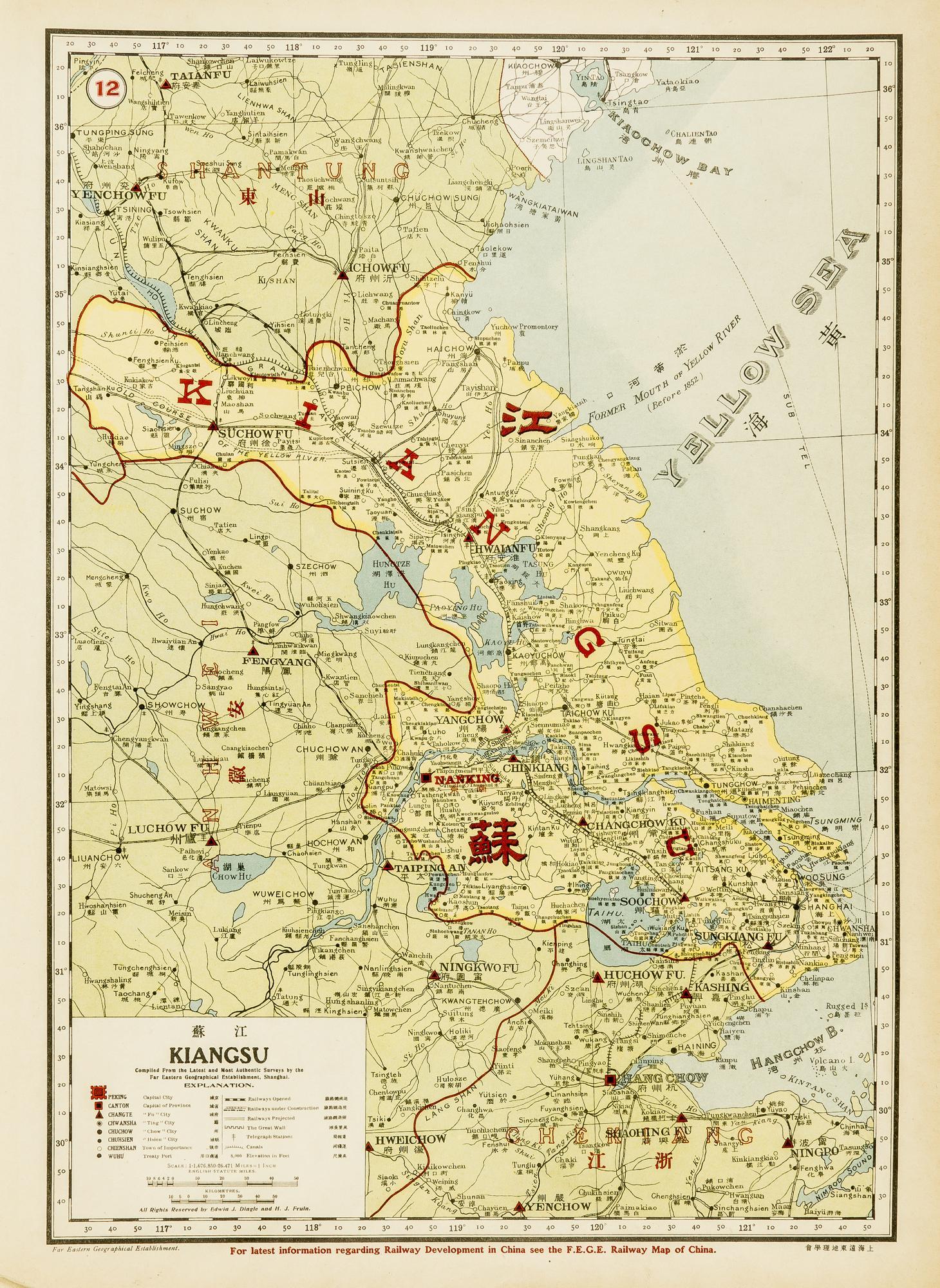
Kiangsu [Jiangsu] (Antique map)
Very uncommon map of the Shandong province, published in Shanghai in 1917. Jinan ), its capital, is referred as Tsinan. It shows with great details two foreign concession: Jiaozhou Bay ("Kiaochow Bay"), the former German concession (and hometown of the famed Tsingtao beer), described as a "Neutral Territory"; and British Weihaiwei, in and around today Weihai city. This was a leased territory of the United Kingdom from 1898 until 1930, with Port Edward as capital, which lay in what is now the centre of Huancui District in the city of Weihai in the province of Shandong. The War Office were responsible for the territory as it was envisaged that it would become a naval base similar to British Hong Kong. It also features the railways between Weifang and Yantai, and part of the Grand Canal, from Cangzhou North to the start of the Huai-Yang Canal South, and through Dezhouh, Liaocheng, and Jining. This map was featured in John Edwin Dingles New Atlas of China, a rare publication from the Far Eastern Geographical Establishment, offering a remarkable testament to the Western presence in Shanghai after the First Opium War. Although bilingual (English-Mandarin), the atlas was likely primarily targeted at foreign businessmen seeking opportunities for profit and adventure in the country. Colored lithography, in very fine condition.
No Binding
Very fine - Excelente